
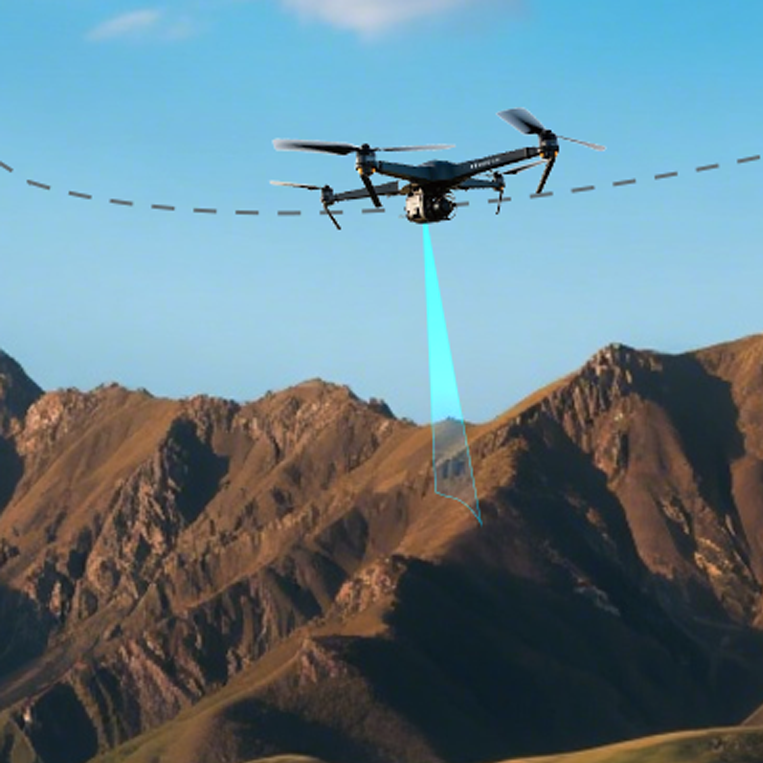
Scenario
Maintain target ground clearance over changing surfaces
Agricultural, mapping, inspection, and contour-flight UAVs need ground clearance while terrain, crop canopy, and target surfaces change. The task is not to hold a fixed altitude reference; it is to give the flight controller the actual gap to the current surface below.
The engineering problem
- A fixed altitude reference does not directly represent the gap to the surface below.
- Maximum range on a standard target is not the usable range for every field surface.
- Tilt, vibration, obstruction, and out-of-range data must not enter a control loop unchecked.
Why LiDAR
A single-point ToF LiDAR measures line-of-sight distance to the target below inside its validated range. It provides direct near-ground input, while reflectivity, ambient light, attitude, weather, contamination, and mounting still affect the result.
From ranging to height adjustment
- Mount downward and keep landing gear, wiring, and other structures out of the field of view.
- Output range through the interface supported by the product.
- Configure the target flight stack for the correct port, orientation, and healthy envelope.
- Fuse range with attitude and other estimates in the appropriate flight mode.
- Define fallback behavior for no return, out-of-range, jumps, and disconnects.
- Validate on real surfaces before controlled flight testing.