Solution

LiDAR solution for UAV detection and avoidance

Provide forward or downward range input so the UAV system can trigger slowdown, rerouting, or stop logic.

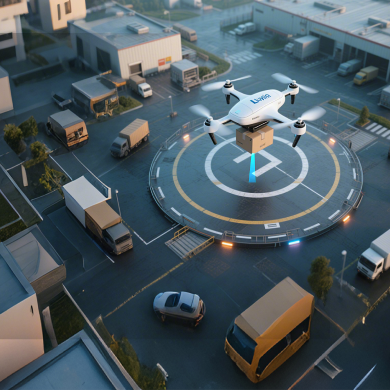
UAV using LiDAR to detect forward obstacles

Scenario

Application scenario

LiDAR outputs target range and status; obstacle classification, risk decisions, path planning, and actuation remain with the flight controller or companion computer.

Engineering problem

  • Obstacle height, material, and incidence angle vary.
  • Multi-direction mounting requires separate calibration and blind-zone handling.
  • Avoidance thresholds, redundancy, and safety policy belong to the vehicle system.

Why LiDAR

Direct range input is straightforward to connect to threshold, slowdown, and stop logic, but it must be validated on the target aircraft.

Workflow

  1. Define detection direction, targets, minimum clearance, and actions.
  2. Select a model by range, field of view, and mounting space.
  3. Connect range, status, and timestamps to the flight controller or companion computer.
  4. Validate false positives, misses, and fallback with real obstacles and flight speeds.

Technology comparison and selection

DimensionConditionLiDARAlternativeAlternative performanceConclusion
Obstacle range inputThe system needs an explainable distance threshold and action trigger.Range and status from a point measurement.Vision-based avoidanceProvides shape information but depends on light, models, and compute.

Combine both where needed; LiDAR does not replace classification or planning.

公开来源Benewake customer application materials · Verified 2026-09-01

Scroll horizontally to view all columns

Installation and integration

  • Rigidly mount for the detection direction and record attitude; handle range status, thresholds, and fallback in the flight controller or companion computer.

    TF02-Pro / TF03 / TFmini-S · Flight controller, companion computer, or UAV safety system · Target system release to be verified before deploymentBenewake customer application materials · Verified 2026-09-01

Operating limits

  • LiDAR does not classify obstacles or plan paths; out-of-range, occlusion, low-reflectivity, and fast-moving targets require separate validation.

    TF02-Pro / TF03 / TFmini-SBenewake customer application materials · Verified 2026-09-01

Evidence

Research, ecosystem and customer stories

TFmini-S and TF-NOVA in honeybee-inspired navigation research

Institution
Delft University of Technology, Micro Air Vehicle Laboratory
Model
—
Use
The paper records TFmini-S and TF-NOVA model use in robot-navigation experiments.
Provenance
Efficient robot navigation inspired by honeybee learning flights 2026 DOI: 10.1038/s41586-026-10461-3
Attribution
Model-level: model named in the source
Open original source ↗View evidence citation →

FAQ

Frequently asked questions

Does the Benewake product perform avoidance by itself?

The product provides range and status. Obstacle decisions, counting, slowdown, rerouting, and stop actions are implemented by the customer flight stack or upper system.

Resources

Resources and references

Confirm the selection with real mission conditions

Share the operating height, target surface, environment, mounting space, and flight-stack version. Our engineering team can help plan selection and validation.

Talk to an engineer

Product inquiry

Talk to a product specialist

Tell us what you need and our team will get back to you.

Product inquiry

Inquiry sent

Your inquiry has been received. We will be in touch soon.