
Guides · 8/15/2024
Why UAV terrain following needs near-ground range input
Understand LiDAR’s role in UAV terrain following through surface changes, mounting, flight-stack integration, and operating limits.
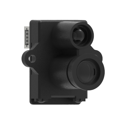
Terrain following concerns the actual gap between the aircraft and the current surface below, rather than holding only a fixed reference altitude.
A downward installation must keep landing gear, wiring, and airframe structures out of the field of view. Port, orientation, healthy range, and version settings must follow the target platform documentation and flight tests.
Reflectivity, ambient light, attitude, vibration, weather, and contamination affect range. LiDAR supplies range input; the flight stack and vehicle system remain responsible for trajectory, fusion, and fallback behavior.
Source: Benewake official content