Solution

LiDAR solution for UAV altitude hold and hover

Provide near-ground range input to the flight controller for low-altitude hold, hover, and descent.

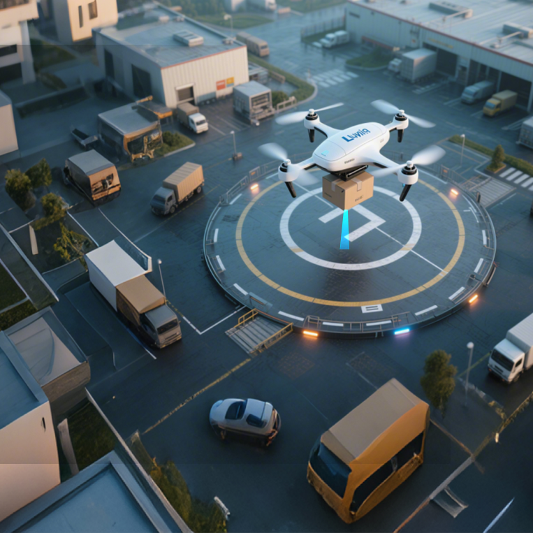
UAV using downward LiDAR for altitude hold and hover

Scenario

Application scenario

Altitude-hold and hover tasks need direct distance to the current ground. LiDAR provides range and status; the flight stack owns fusion, filtering, mode control, and fallback.

Engineering problem

  • Barometric or GNSS height does not represent distance to the current ground.
  • Mounting offset, blind zone, and occlusion can create invalid returns.
  • Ground reflectivity and attitude require field validation.

Why LiDAR

A downward single-point ToF LiDAR provides direct ground distance inside its validated envelope as a near-ground flight input.

Workflow

  1. Define the hold range, response rate, and fault handling.
  2. Mount downward and record height, orientation, and occlusion.
  3. Configure UART and parameters for the target flight-stack release.
  4. Validate the healthy envelope on real ground, attitudes, and ambient light.

Technology comparison and selection

DimensionConditionLiDARAlternativeAlternative performanceConclusion
Distance to current groundThe flight stack needs near-ground absolute range, not only relative height.Direct ground distance inside the validated envelope.Barometer / GNSSRelative-height or position estimate without direct ground observation.

LiDAR supplies the near-ground input; the flight stack owns fusion and fallback.

公开来源Benewake customer application materials · Verified 2026-09-01

Scroll horizontally to view all columns

Installation and integration

  • Mount downward with airframe and landing gear outside the field of view; verify UART, logic level, port, and parameters for the target flight-stack release.

    TFmini-S / TFmini Plus / TF-Luna · Flight controller or UAV system · Target system release to be verified before deploymentBenewake customer application materials · Verified 2026-09-01

Operating limits

  • Altitude input is not full hover, position hold, or safe landing; validate range and accuracy on real ground, reflectivity, attitude, and ambient light.

    TFmini-S / TFmini Plus / TF-LunaBenewake customer application materials · Verified 2026-09-01

FAQ

Frequently asked questions

Can LiDAR alone guarantee stable UAV hover?

No. LiDAR supplies near-ground range; fusion, control, horizontal positioning, and fallback belong to the flight stack and vehicle system.

Resources

Resources and references

Confirm the selection with real mission conditions

Share the operating height, target surface, environment, mounting space, and flight-stack version. Our engineering team can help plan selection and validation.

Talk to an engineer

Product inquiry

Talk to a product specialist

Tell us what you need and our team will get back to you.

Product inquiry

Inquiry sent

Your inquiry has been received. We will be in touch soon.